River/Stream: East Fork Des Moines River Basin
Location: Kossuth & Humboldt Counties
Fatalities:
Seneca Access Rock Dam
Owner: State of Iowa
Height:
Length: 35 ft.
Comments: reported to be in poor condition
Unnamed Rock Dam 1
Built:
Height:
Length:
Comments:
Unnamed Rock Dam 2
Built:
Height:
Length: 35 feet
Comments:
Unnamed Rock Dam 3
Built:
Height:
Length: 35 feet
Comments:
Patterson Recreation Area Rock Dam
Owner: Kossuth County Conservation Board
Height: 3 ft.
Length: 60 ft.
Comments:
Plum Creek Wildlife Area Rock Dam
Built:
Height:
Length: 35 feet
Comments:
Plum Creek Access Rock Dam
Owner: Kossuth County
Built:
Height: 2 feet
Length: 65 feet
Comments:
Algona Rock Dam
Owner: State of Iowa
Built:
Height: 2 feet
Length: 60 feet
Comments:
Highway 169 Rock Dam
Owner: State of Iowa
Built:
Height: 3 feet
Length: 60 feet
Comments:
Devine Wildlife Area Rock Dam
Owner: Kossuth County Conservation Board
Built:
Height: 2 feet
Length: 80 feet
Comments: recreation
Dakota City Mill Dam Ruins
Owner:
Built: 1855 as a saw mill. Converted to grain processing in 1879; mill and flume rebuilt in 1890. Destroyed by flood in 1943.
Height:
Length:
Comments: The East Des Moines River Mill was destroyed by a fire in 1943, the same year the dam went out. Remains of the mill and the dam can still be seen on the river near Mill Farm House.
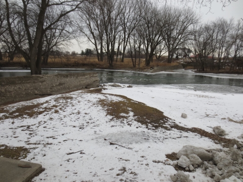

Mill dam ruins photo courtesy Jim Dodd.