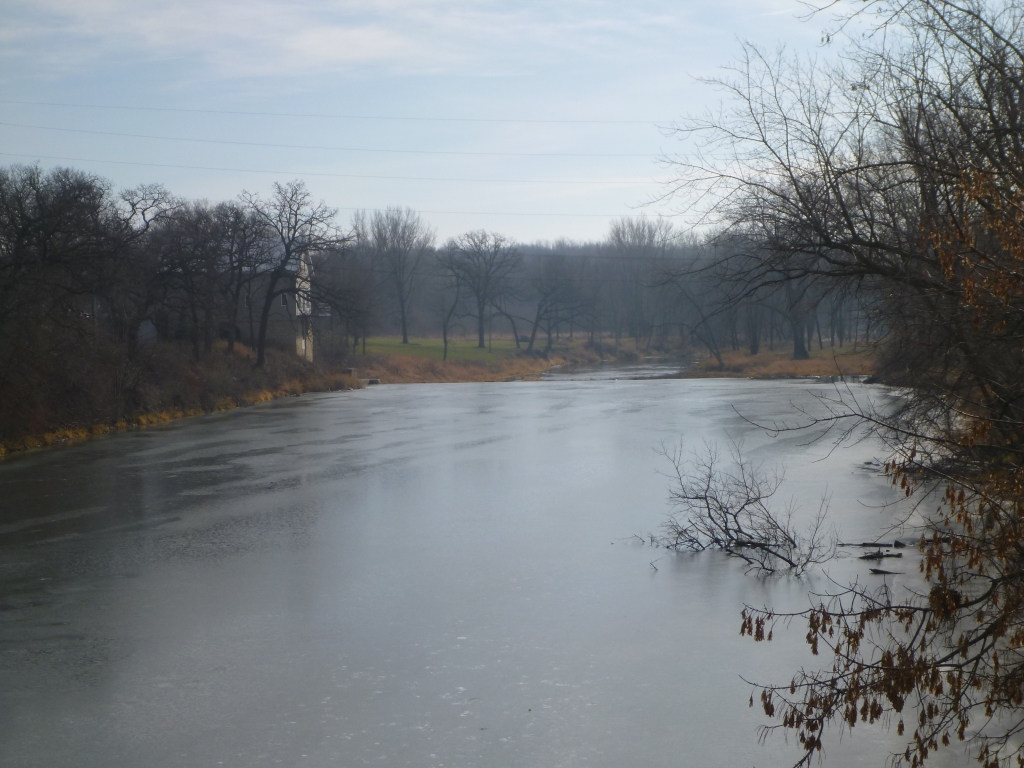
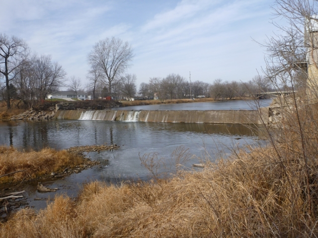
River/Stream: Shell Rock River
Location: Rockford, Floyd County
Latitude: 43.05032
Longitude: -92.94243
Built: 1872. Removed 2014.
Owner:
Height: formerly 10 ft.
Length: 200 ft.
Hazards: formerly height, visibility
Warning Signs: no longer needed
Portage:
Comments:
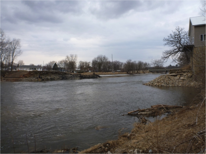
Looking upstream toward former dam site.
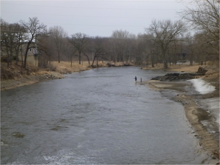
Looking downstream toward former dam site.