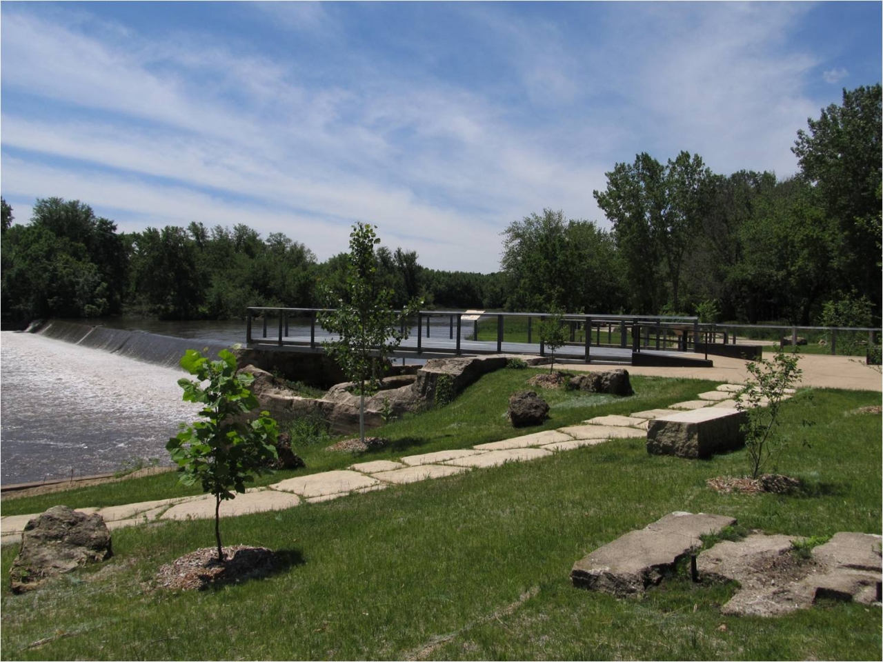
River/Stream: Maquoketa River
Location: Monticello, Jones County
Latitude: 42.244765
Longitude: -91.172125
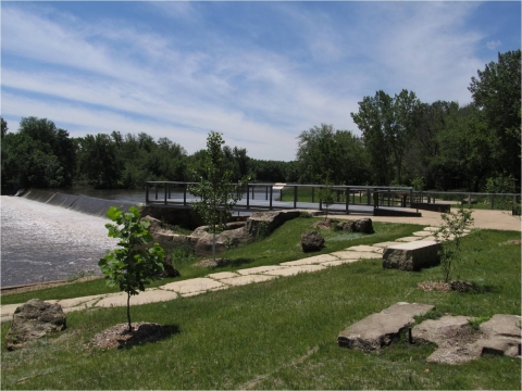
View of dam from below on river left
Built: 1853, rebuilt 1913-1914
Owner: Jones County Conservation Board
Height: 9.5 ft.
Length: 441 ft.
Hazards: usage, visibility
Warning Signs: good
Portage: Portage on river-left (east bank.)
Comments: Over the past 10 years the Conservation Board, Mon/Maq Dam Advisory Committee, and interested citizens have been reviewing several options for the long term use and management of the Mon/Maq Dam Access near Monticello. The center of this review has involved options for the dam itself, including significant modifications to the structure. Please click here for more information.

Warning sign with portage marker